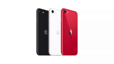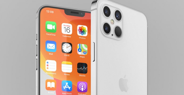
A new report was leaked by Asian technology publication Nikkei on Apple’s upcoming iPhone line-up. The report states that all upcoming iPhone 12 models will feature OLED displays. This is not the first time that Apple has said it, but it makes the leaks more credible. This news is based on the supply-chain sources and validates the fact that Apple will use OLED panels on all of the iPhone 12 which are set to launch later this year.
OLED panels will be available on all iPhone 12 models
The “executive-level source” states that apart from including OLED panels on all four models, the iPhone 12 will feature a “fringe” or a notch up top to house the Face ID sensors. Apple has decided to reduce their reliance on Samsung for the production of OLED panels. The South Korean giant will benefit from this move. However, Samsung is yet to meet Apple’s display requirement for its upcoming iPhone 12 models. Later on, as we narrow down to the launch, the company will enter the supply chain for display production.
Japan Display, the previous display provider for Apple’s iPhones will be hugely affected by this change. Japan Display has been manufacturing displays for iPhones for a long period of time. This exit will hurt them even more, as Apple completely makes the shift to OLED displays.
iPhones to now be $50 costlier despite omitting the charger and earphones
New reports have emerged that say that all iPhones will now have a price increase of $50 extra even though they omitted the charger and the earphones. It may be due to the inclusion of 5G, or the shift to pure OLED panels. We aren’t sure what the reason for the 50$ extra price will be. The $50 increase in the US would mean a $80 to $90 extra in other countries with their own taxes.
Apple to keep only a USB-C to lightning converter cable in the box along with the phone
Ran Avni the owner of a popular iPhone 3D concepts channel ConceptsiPhone has shared a new rendering from a “really reliable source” that is claimed to be a box for the iPhone 12. It shows a circular area which will be housing the USB C to lightning converter, and a square for documentation and other stickers.
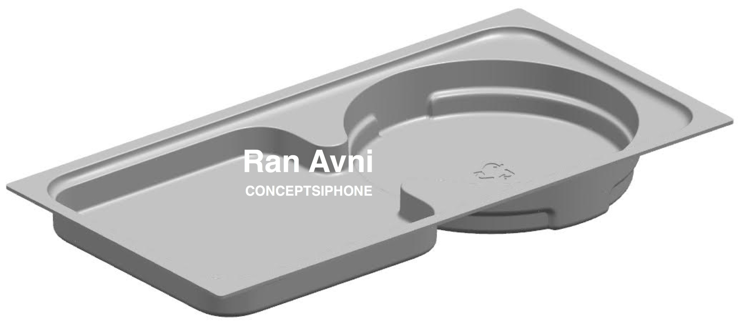
This is strong evidence that Apple is ditching almost everything in the box, and the only part other than the phone will be the USB C to lightning converter cable.
So, are you going to get the iPhone 12? Do let us know in the comments below.